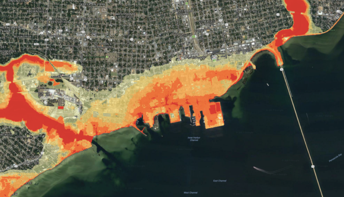
Logical MappingWe provide geospatial solutions that map layers a community really needs. For example, our flood plain mapping includes flood zones for the 10-, 25-, 50- 100- and 200-year flood. Such maps are tied to flood probability of every building in the community.
|
Exceptional CommunicationWe excel in providing clear communication to scientists, professionals in numerous fields and the public. Our communication approach strips away jargon and always provides a no-hype perspective.
|
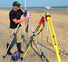
Field Work and Local PartnershipsWe prioritize field work and local partnerships, as community resilience work requires local relationships. Our local presence along the Gulf Coast enables us to work directly with many communities before, during and after coastal hazards.
|
Search by typing & pressing enter


